© SBR-W.Thomas
© SBR-W.Thomas
© SBR-W.Thomas
Ferrybox
Créé(e) 19/11/2014
Mis à jour 02/05/2022
Partager


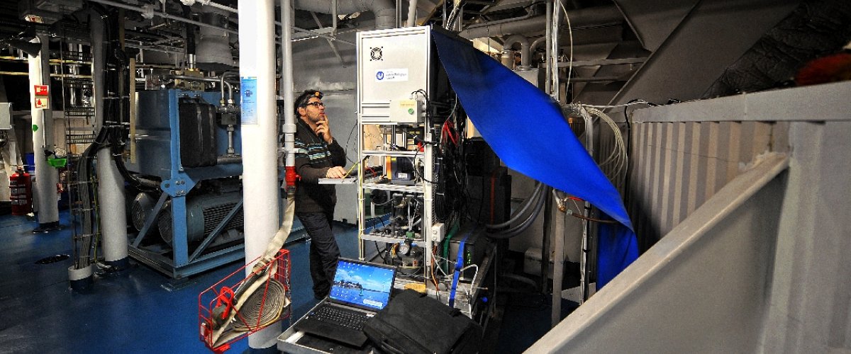
For the last decade, many ferrybox systems have been deployed in the EU Ferrybox Project. Most of them are located in the Northern Europe. Since june 2010, we exploit two new ferries routes to measure spatial and temporal dynamics of physical, chemical and biological parameters from the Western English Channel, Celtic Sea and Bay of Biscay waters. These instrumentation projects are the outcome of collaborations between the Station Biologique de Roscoff (Marinexus Interreg Program) and Ifremer Brest (NavOp project).
► Objectives :
- Observation of physical and biogeochemical parameters along regular routes of Ferries
- Validation of hydrodynamic and ecosystem models
- Comparison with remote sensor measurements
- Validation of the forecast models (previmer)
- Supply of the database Coriolis
- Informations towards the passengers and general public
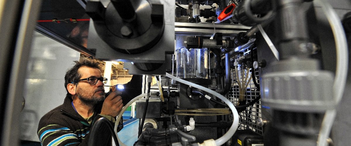
► Parameters (and sensors) :
- Seawater temperature (SBE 45, SEA-BIRD)
- Salinity (SBE 45, SEA-BIRD)
- Dissolved oxygen (OPTODE 3835, AANDERAA )
- Chlorphyll a ( C3, TURNER DESIGNS)
- Colored dissolved organic matter ( C3, TURNER DESIGNS)
- Turbidity ( C3, TURNER DESIGNS)
- pCO2 (Contros)
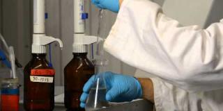
And an autonomous water sampler for discrete sampling of additionnal parameters (e.g. nutrients, DIC …).
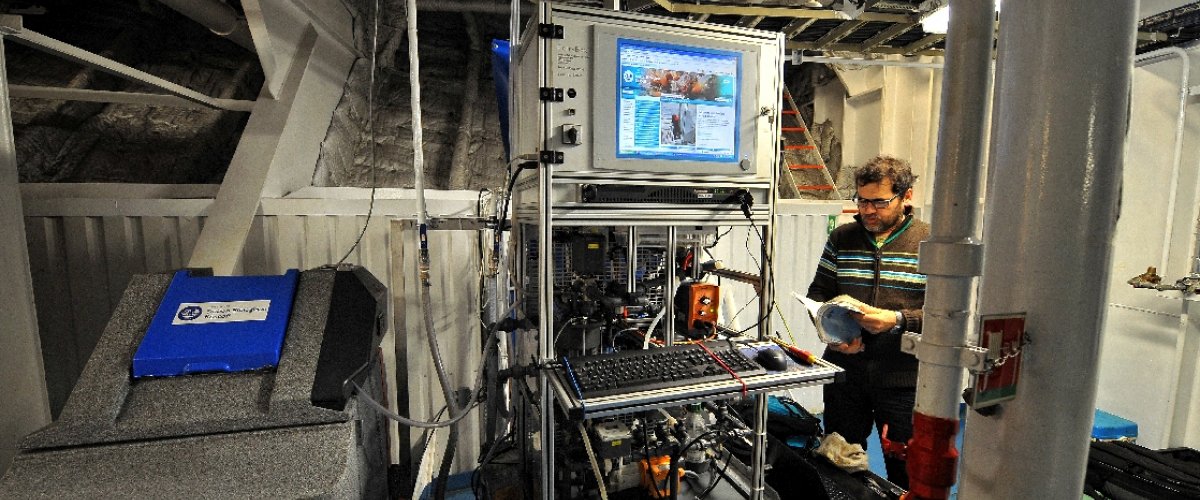
► Data management :
All data acquired on board are saved and sent to the database when the ferry reaches harbours (GSM connection).
The database is located at the Station Biologique de Roscoff and also provided to the Coriolis database for validation.
Seawater samples are also regularly taken to correct for any sensors drifts and improve the data validation.
Data and graphics are shown to general public on a website.